The Waterfront Alliance
Meetings
News
Wharfside
Membership
Walk the Waterfront
Contact Us

WaterfrontAllianceMaine.org

The Waterfront Alliance
Meetings
News
Wharfside
Membership
Walk the Waterfront
Contact Us
Waterfront Alliance
December 20, 2018

Portland shoreline 1777 and now

Waterfront Alliance
December 20, 2018

An illustration of the 1777 Portland shoreline from the Atlantic Neptune and the late 20th century shoreline. This map was created for the Osher Map Library at USM by Rosemary Mosher

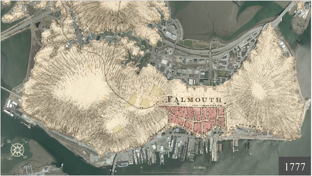
Another, similar map showing 1823 shoreline

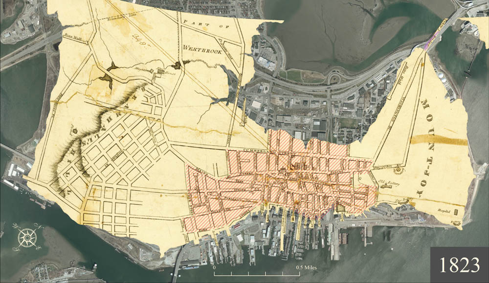
A summary map from 1777 to modern time in 6 increments

The blog showing the maps has lots more images of Portland

Newer PostLinks to City of Portland waterfront web info
Older PostRecent articles about Aquaculture in Press Herald
Back to Top
waterfrontallianceme@gmail.com

Powered by Squarespace